ZIRA ISLAND PROJECT (english)
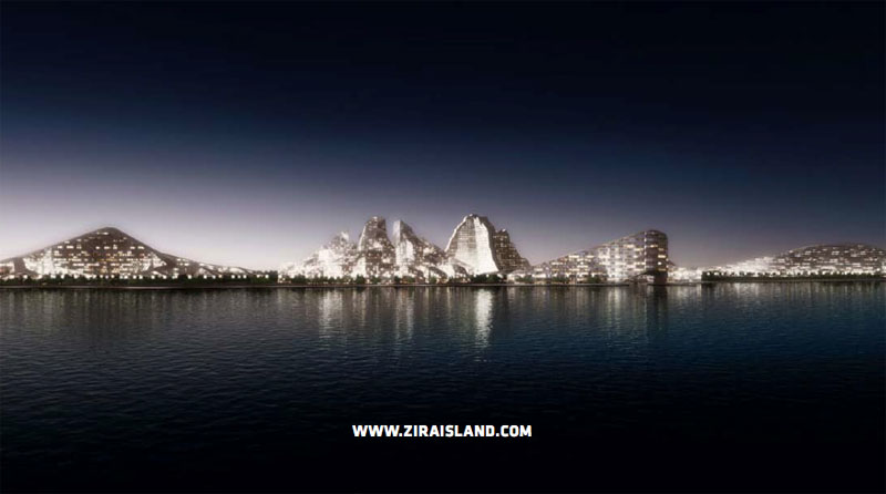
Azerbaijan has long been called “The Alps of Central Asia”. Its natural landscape continue to play an important role in present day Azerbaijan. Shaped by the Cauca- sus Range towards the north and the coastline of the Caspian Sea, Azerbaijan is a strategic gateway between east and west full of contrasts and contradictions.
THE LANDSCAPE
Azerbaijan has long been called “The Alps of Central Asia”. Its natural landscape continue to play an important role in present day Azerbaijan. Shaped by the Cauca- sus Range towards the north and the coastline of the Caspian Sea, Azerbaijan is a strategic gateway between east and west full of contrasts and contradictions.
The landscape of Azerbaijan includes many snow-capped peaks exceeding 4.000 meters, lush green valleys towards the south and large swathes of arid semi-desert in between. Just a few hours drive away from timeless mountain villages clad in lush orchards sits the Azerbaijani capital of Baku which in Persian means “the wind swept city” whose medieval center is a UnESCO World Heritage site and home to the Zira Island Master Plan.
LOCATION AND CONNECTIVITY
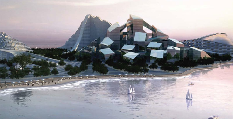
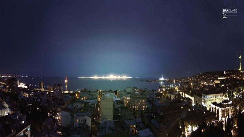
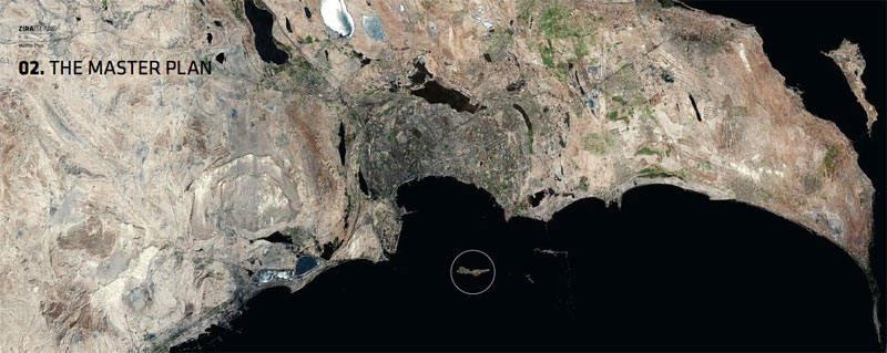
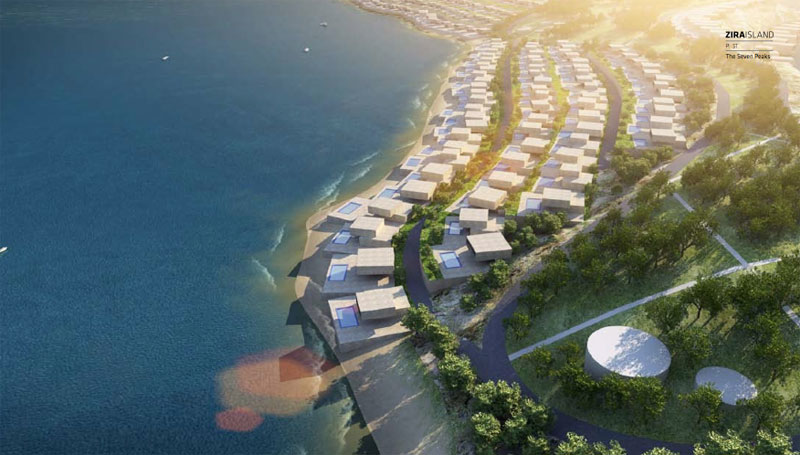
Zira Island, formerly known as nargin, is part of the Baku Archipelago, which consists of sev- eral islands. Zira Island is the largest of these which separates the Bay of Baku from the sea south of the Absheron Peninsula. The island is visible from the entire Bay of Baku and its 3.5 million inhabitants. The island has a length of 3.1 km, and a width of 600 m. The northwestern side of the island is vertical and steep flattening out towards the south.
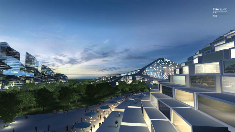
Zira Island will be connected to the mainland via a variety of transportation options either by water or air. The island becomes linked to the mainland by regular shuttle service which would make the circa 10 km journey at regular intervals. On the island a network of electrical cars and taxis will provide an efficient circulation, while at the same time ensuring limited traffic on the island, and the ultimate privacy and well being for its residents and visitors to the hotel and marina alike.
To learn more about Zira Island and master plan pkease visit: http://www.ziraisland.com/


To learn more about Zira Island and master plan pkease visit: http://www.ziraisland.com/

Comenta